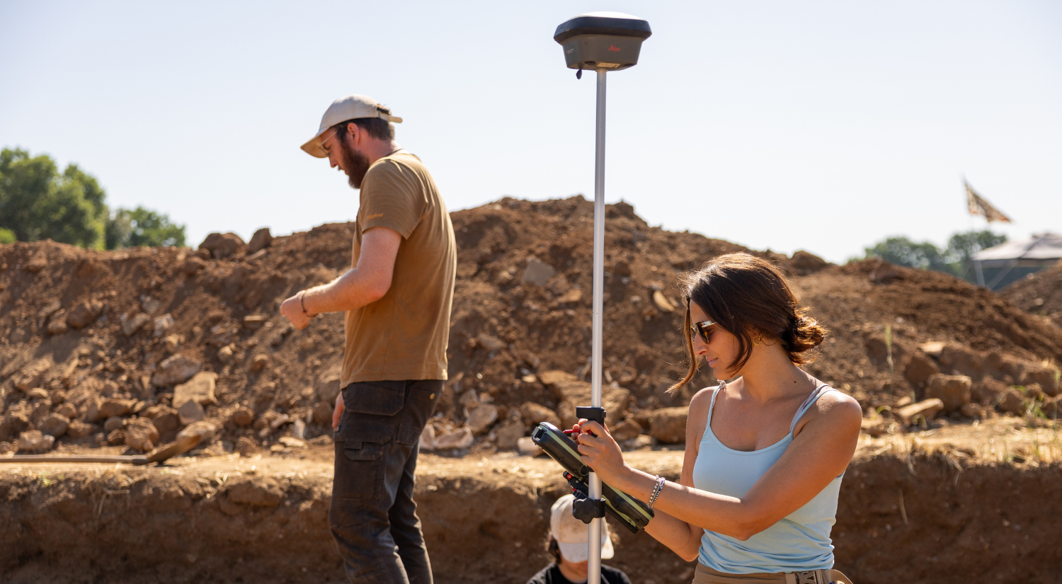
Sara Fabbri working on site, photo by Nicholas Berardo, 2026
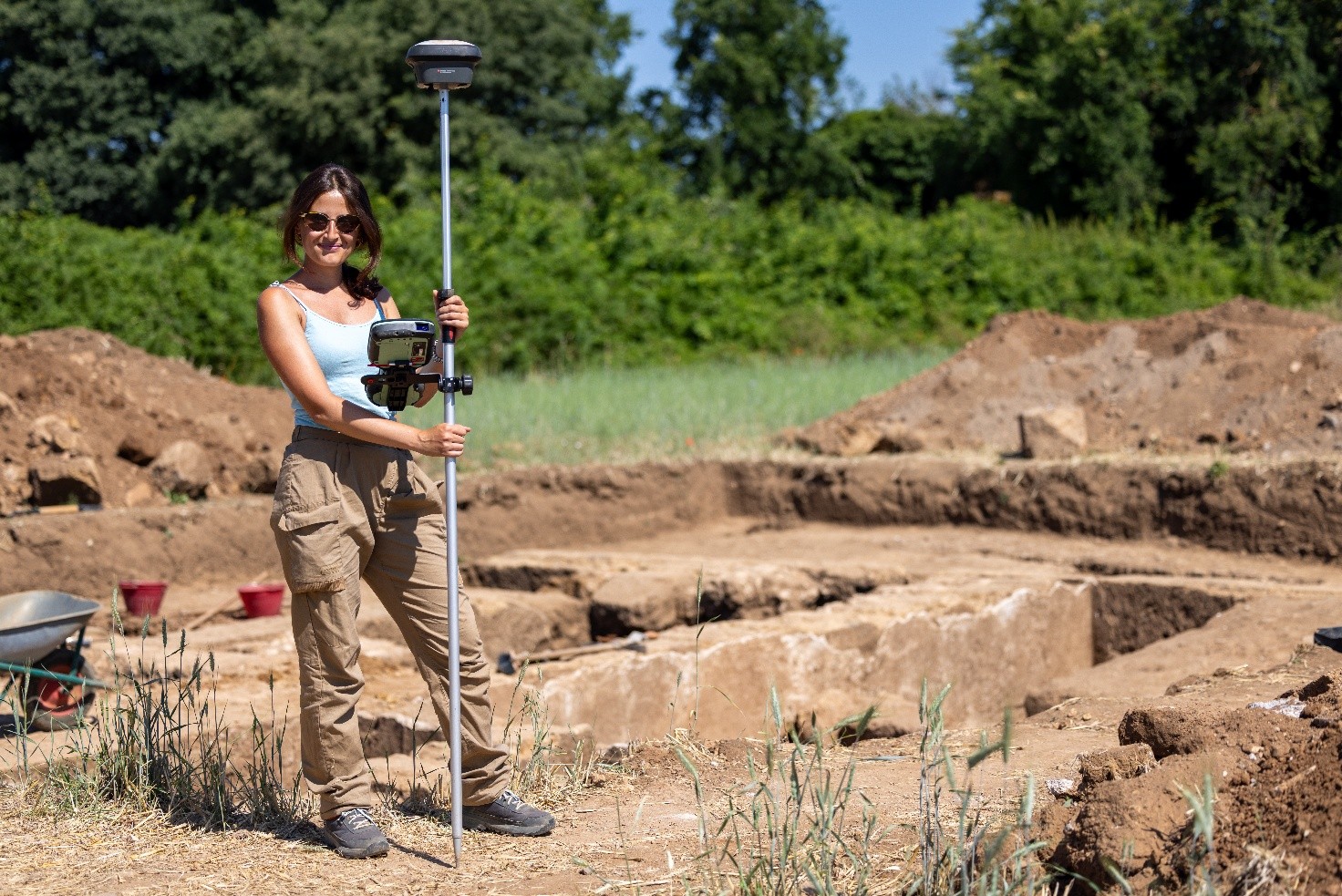
Sara Fabbri working on site, photo by Nicholas Berardo, 2026
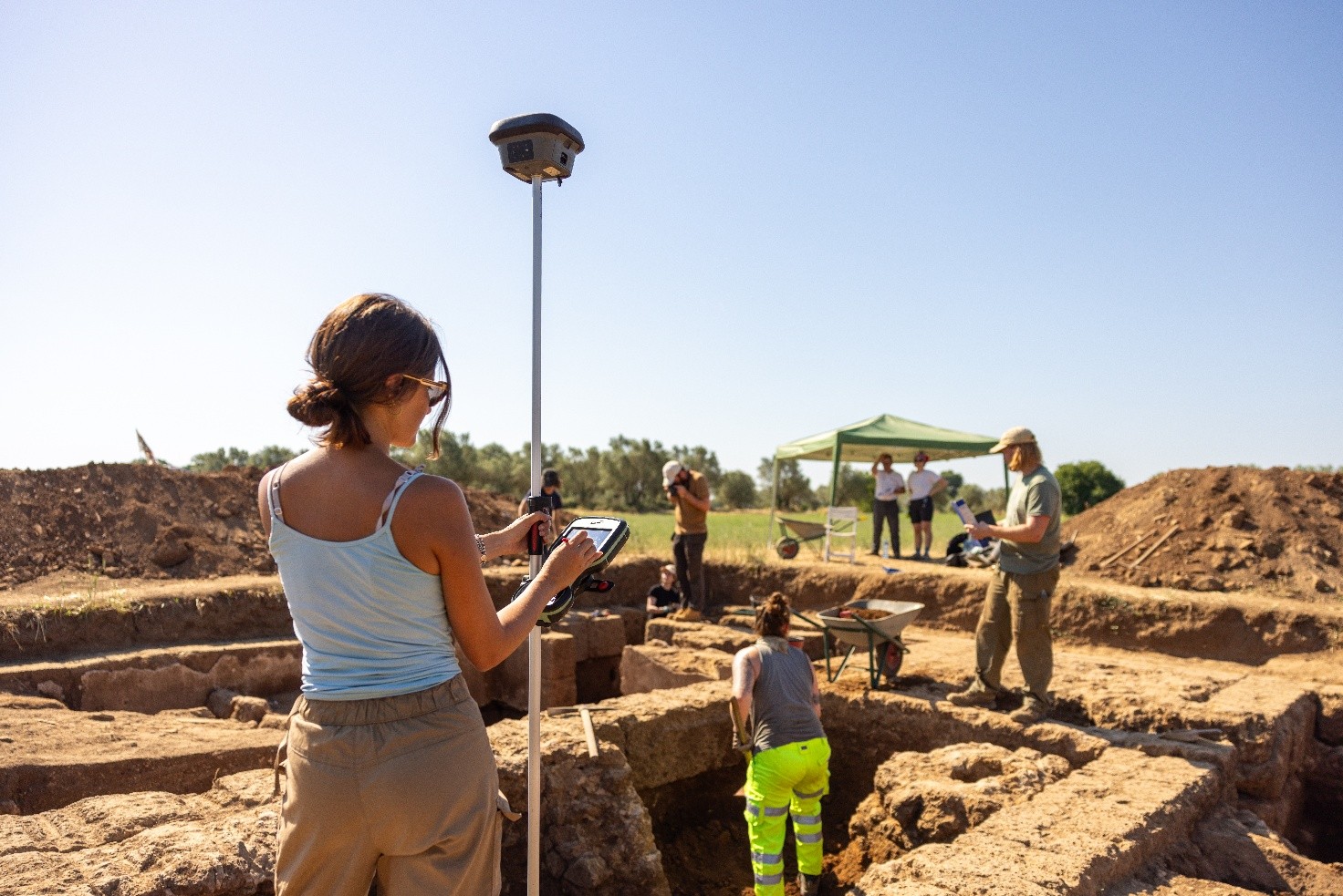
Sara Fabbri working on site, photo by Nicholas Berardo, 2026
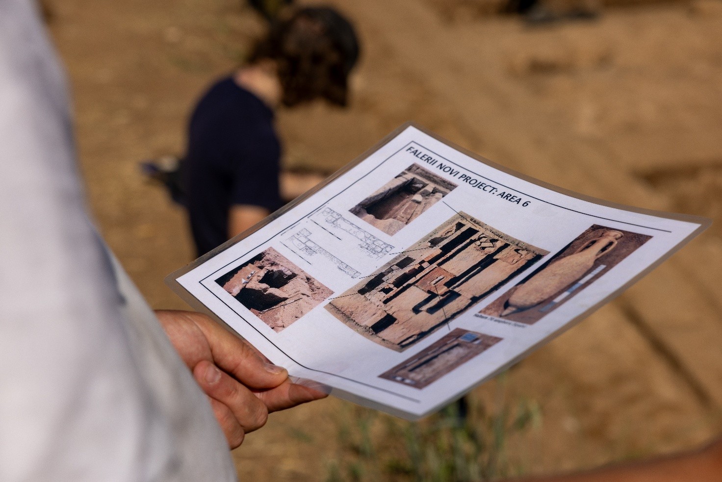
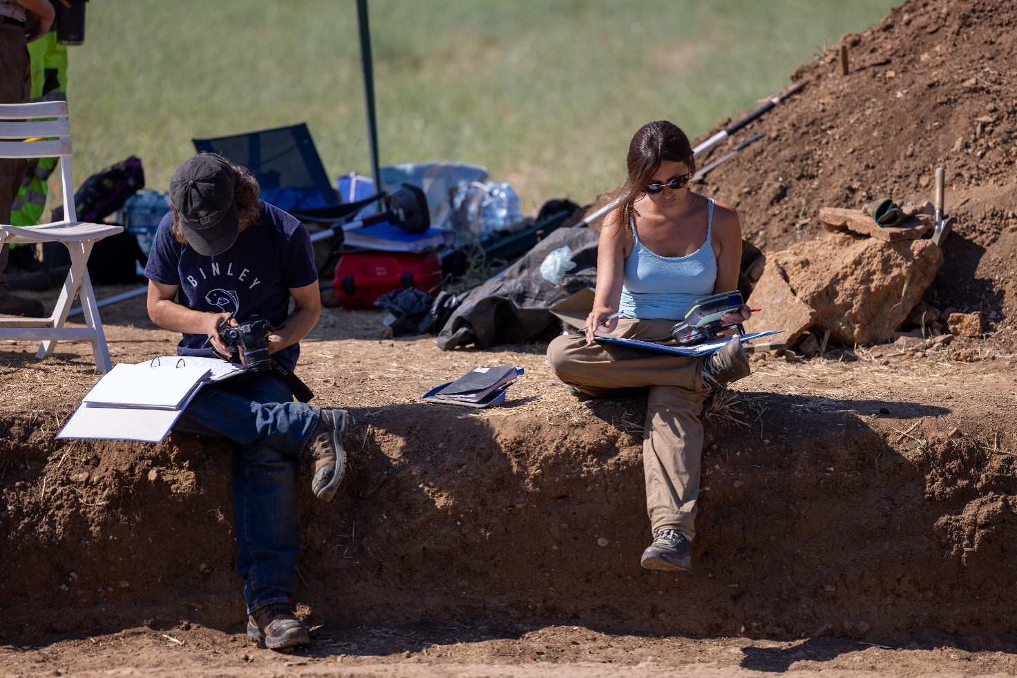
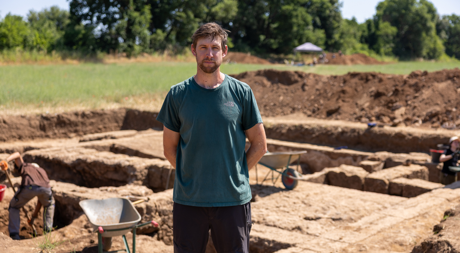
Alongside the trenches and the finds, every excavation depends on a less visible kind of work: the constant effort to record, position, and reconstruct the site. At Falerii Novi, this task was undertaken by Sara Fabbri, Archaeology Survey Technician at the British School at Rome, who is responsible for the digital recording of all three excavation areas, coordinated by the BSR’s Geophysical Researcher Elena Pomar.
Sara Fabbri working on site, photo by Nicholas Berardo, 2026
Her work begins with positioning: locating the excavation, and everything that emerges from it. This means not only the larger structures that come to light, but also the small finds – coins, bone pins, and other delicate objects- each fixed precisely to the point where it was recovered.
Much of this positioning happens from above. Using a drone, Fabbri produces orthophotos: zenithal images taken perpendicular to the ground, capturing the full extent of the structures and layers visible at a given moment.
An orthphoto and some finds from the previous excavation season, photo by Nicholas Berardo, 2026
These flights take place once or twice a week, timed to document a layer’s extent, dimensions, and position before they are removed. Yellow-and-black targets, their position recorded by GPS, are placed around the excavation, allowing the resulting orthophoto to be precisely georeferenced within the real world.
To record the BSR’s excavation, Sara also produces a full three-dimensional model, captured with the school’s Leica RTC360 laser scanner. Unlike the orthophotos, this method records more than just the tops of the walls: rotating 360 degrees and capturing a dense point cloud as it turns, the scanner records the full elevation of every wall, allowing for its reconstruction in three dimensions.
Falerii Novi excavations, photo by Nicholas Berardo, 2026
Ethan Scanlon, Leverhulme Study Abroad Student at the British School at Rome from October 2025 to July 2026, shares insights into the development of his
Valeria Tettamanti, Ecole française de Rome (résidence scientifique jeunes chercheurs UNIONE –November 2025-July 2026) Awardee, discuss her project “Popular science in Italian feminine press at
Ethan Scanlon, Leverhulme Study Abroad Student at the British School at Rome from October 2025 to July 2026, shares insights into the development of his
Valeria Tettamanti, Ecole française de Rome (résidence scientifique jeunes chercheurs UNIONE –November 2025-July 2026) Awardee, discuss her project “Popular science in Italian feminine press at
Emlyn Dodd is former Assistant Director of the British School at Rome, an Associate Fellow of the Institute of Classical Studies at the University of
We use cookies on our website to give you the most relevant experience by remembering your preferences and repeat visits. By clicking “Accept All”, you consent to the use of ALL the cookies. However, you may visit "Cookie Settings" to provide a controlled consent.
This website uses cookies to improve your experience while you navigate through the website. Out of these, the cookies that are categorized as necessary are stored on your browser as they are essential for the working of basic functionalities of the website. We also use third-party cookies that help us analyze and understand how you use this website. These cookies will be stored in your browser only with your consent. You also have the option to opt-out of these cookies. But opting out of some of these cookies may affect your browsing experience.
Necessary cookies are absolutely essential for the website to function properly. These cookies ensure basic functionalities and security features of the website, anonymously.
Cookie
Duration
Description
cookielawinfo-checkbox-advertisement
1 year
Set by the GDPR Cookie Consent plugin, this cookie records the user consent for the cookies in the "Advertisement" category.
cookielawinfo-checkbox-analytics
11 months
This cookie is set by GDPR Cookie Consent plugin. The cookie is used to store the user consent for the cookies in the category "Analytics".
cookielawinfo-checkbox-functional
11 months
The cookie is set by GDPR cookie consent to record the user consent for the cookies in the category "Functional".
cookielawinfo-checkbox-necessary
11 months
This cookie is set by GDPR Cookie Consent plugin. The cookies is used to store the user consent for the cookies in the category "Necessary".
cookielawinfo-checkbox-others
11 months
This cookie is set by GDPR Cookie Consent plugin. The cookie is used to store the user consent for the cookies in the category "Other.
cookielawinfo-checkbox-performance
11 months
This cookie is set by GDPR Cookie Consent plugin. The cookie is used to store the user consent for the cookies in the category "Performance".
CookieLawInfoConsent
1 year
CookieYes sets this cookie to record the default button state of the corresponding category and the status of CCPA. It works only in coordination with the primary cookie.
elementor
never
The website's WordPress theme uses this cookie. It allows the website owner to implement or change the website's content in real-time.
viewed_cookie_policy
11 months
The cookie is set by the GDPR Cookie Consent plugin and is used to store whether or not user has consented to the use of cookies. It does not store any personal data.
Functional cookies help to perform certain functionalities like sharing the content of the website on social media platforms, collect feedbacks, and other third-party features.
Performance cookies are used to understand and analyze the key performance indexes of the website which helps in delivering a better user experience for the visitors.
Analytical cookies are used to understand how visitors interact with the website. These cookies help provide information on metrics the number of visitors, bounce rate, traffic source, etc.
Cookie
Duration
Description
_ga
1 year 1 month 4 days
Google Analytics sets this cookie to calculate visitor, session and campaign data and track site usage for the site's analytics report. The cookie stores information anonymously and assigns a randomly generated number to recognise unique visitors.
_ga_*
1 year 1 month 4 days
Google Analytics sets this cookie to store and count page views.
_gat_gtag_UA_*
1 minute
Google Analytics sets this cookie to store a unique user ID.
_gid
1 day
Google Analytics sets this cookie to store information on how visitors use a website while also creating an analytics report of the website's performance. Some of the collected data includes the number of visitors, their source, and the pages they visit anonymously.
CONSENT
2 years
YouTube sets this cookie via embedded YouTube videos and registers anonymous statistical data.
Advertisement cookies are used to provide visitors with relevant ads and marketing campaigns. These cookies track visitors across websites and collect information to provide customized ads.
Cookie
Duration
Description
VISITOR_INFO1_LIVE
5 months 27 days
YouTube sets this cookie to measure bandwidth, determining whether the user gets the new or old player interface.
YSC
session
Youtube sets this cookie to track the views of embedded videos on Youtube pages.