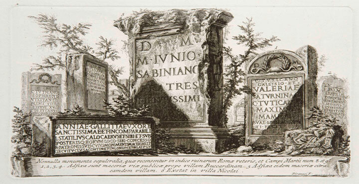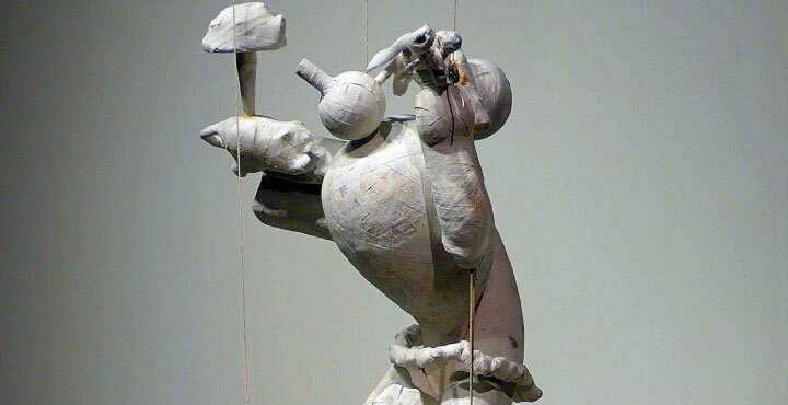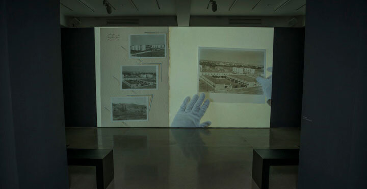


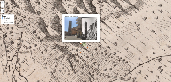
Prof Liz Rideal’s fellowship looked at human traces, and how these were evoked and recorded in different ways. Inspired by travels funded by Leverhulme, the project investigated Roman sculpture, architecture and the Roman Campagna. The locations visited were pinpointed within the historical maps of Lazio and ’spliced’ with a contemporary map of the same terrain. Old and new photographs are visible side by side accompanied by new visions. Flying cloths pretend to conjure spirits of the past, flitting like moths caught in the moment; the camera eye trapping the glimpsed mutable form.
The antique maps are by cartographers Giovanni Battista Cingolani della Pergola, c. 1740, and Giacomo Filippo Ameti Romano, 1693 and a third of Rome itself by Pietro Ruga, 1824, all from the British School at Rome. The interactive maps within the microsite were coordinated in collaboration with the Bartlett Centre for Advanced Spatial Analysis, (CASA), UCL by Dr Duncan Hay and Siyuan Ma, MA.