Archaeology
Archaeology
 Laser scanning of the macellum building by the BSR team, 2023
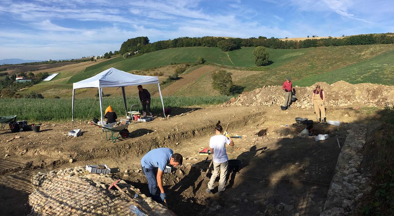 Excavation at Matrice, Campobasso (Molise)
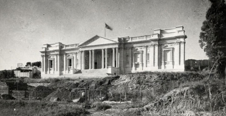
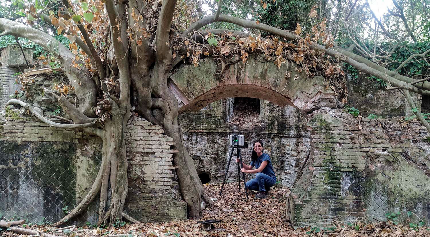 Laser scanning of the Palazzo Imperiale, Portus
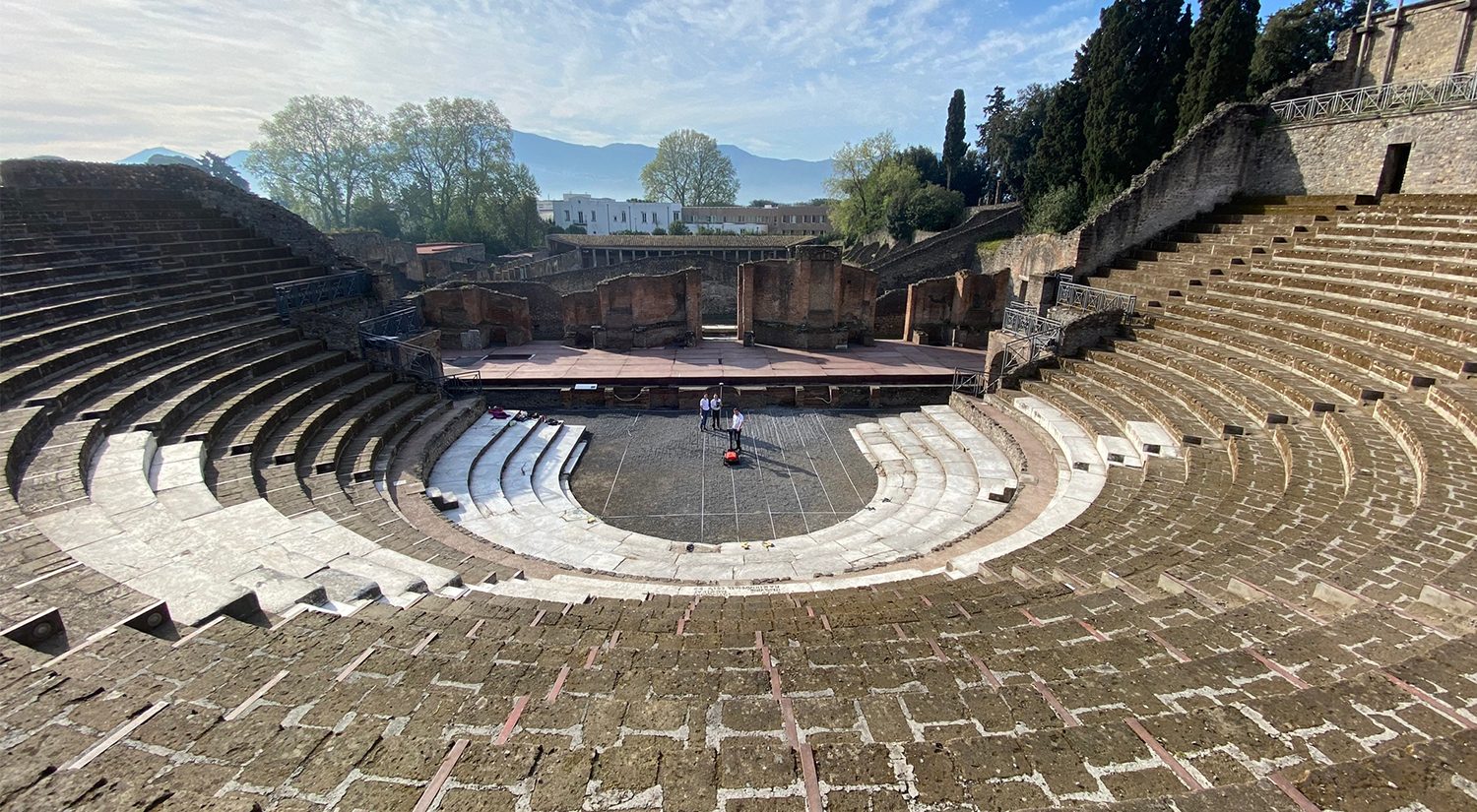 Ground-Penetrating Radar survey of the large theatre, Pompeii
Archaeological research forms a central part of the BSR’s activities, providing an international hub for collaboration and debate, conducting major excavations and providing forums to bring together the academic community.
The BSR is currently engaged in several major research projects in Italy, details of which can be found on this website. Spread across various regions, the overall theme is the investigation of Roman urbanism, production, and commerce. This is supported by a rich programme of geophysical prospection and digital recording, both for the BSR’s research projects and in support of colleagues. Thanks to successful funding applications and the support of private individuals, the BSR is able to undertake world leading and multidisciplinary archaeological research.
The BSR has a long tradition of archaeological research in South Etruria, which provides the foundation for new major excavations at the site of Falerii Novi. We are joined by international and national partners to conduct the first large-scale excavation of this remarkable Roman town, revealed in stunning detail by geophysical prospection.
Since 2019, the BSR has been a key partner in the ERC-funded Rome Transformed Project. The first results of this project are starting to be published, transforming our knowledge and understanding of the development of the eastern Caelian hill over a period of eight centuries.
The long-term research at the site of Portus continues with investigations currently focused on the Claudian harbour. The project is combining largescale geophysical prospection with environmental coring to understand the construction and dynamics of this area.
Elsewhere, the BSR is working closely with colleagues in Lazio, Emilia-Romagna, Marche, Molise and Sicily on a number of key excavation and survey projects.
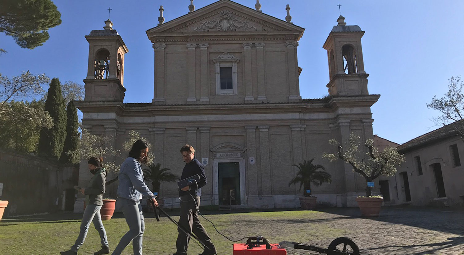
Ground-Penetrating Radar survey in Piazza Sant'Anastasia, Rome
The British School at Rome has a long tradition of undertaking archaeological survey, from the early ground-breaking South Etruria surveys of John Ward-Perkins to the more recent concentration on remote sensing. For over 20 years, the BSR conducted geophysical prospection throughout Italy, Africa and the wider Mediterranean area.
The BSR has a dedicated team of geophysicists and owns a wide range of the latest survey instruments, including differing antenna for Ground-Penetrating Radar, multiple magnetometry sensors and a cart system, resistance and electrical tomography meters.
The team is currently undertaking several research projects applying non-invasive technologies with a principal focus on Roman urbanism in Central Italy. The BSR also provides geophysical survey support through collaborations with partners working in Italy and the wider Mediterranean. On completion of a survey, detailed reports are prepared, drawing upon the resources of the BSR’s specialist library. The geophysical surveys are regularly published in leading academic journals, magazines and in the Papers of the British School at Rome. For further information, please contact the BSR Archaeology Manager.
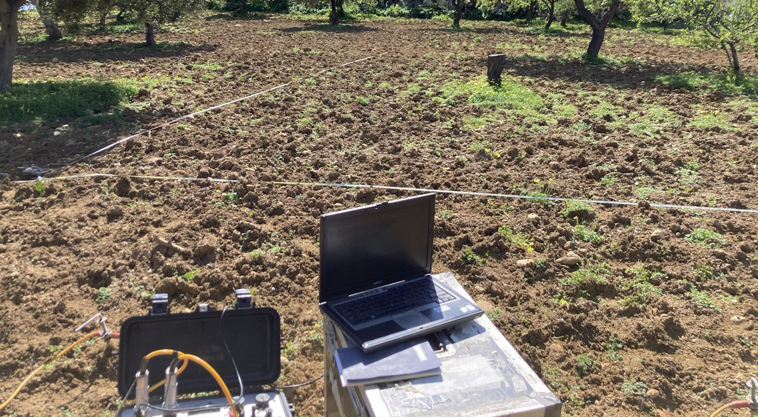
Electrical Resistance Tomography at the Temple of Juno, Agrigento
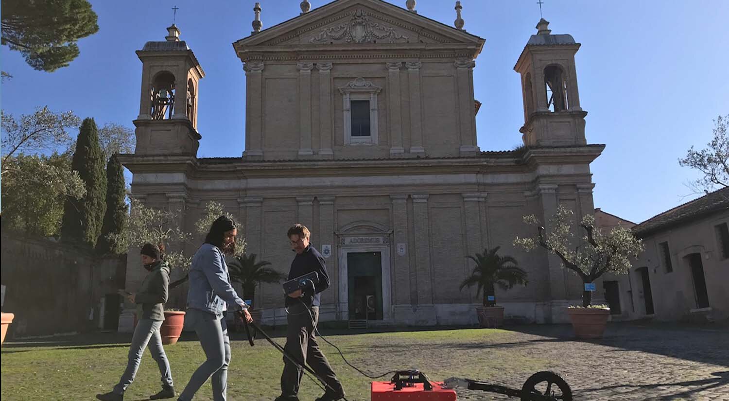
Ground-Penetrating Radar survey at Sant’Anastasia, Rome
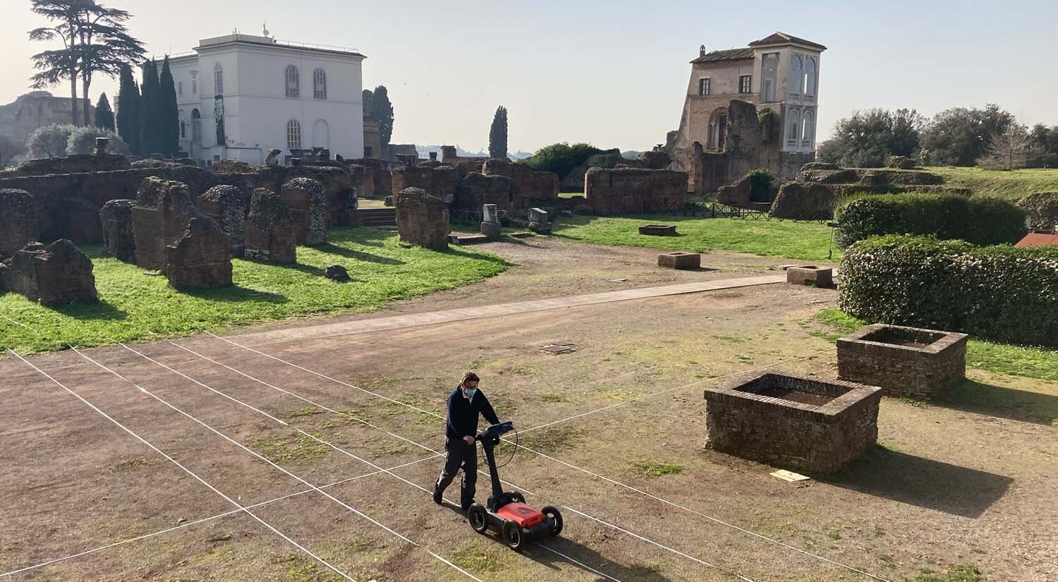
Ground-Penetrating Radar survey at the Palatine, Rome
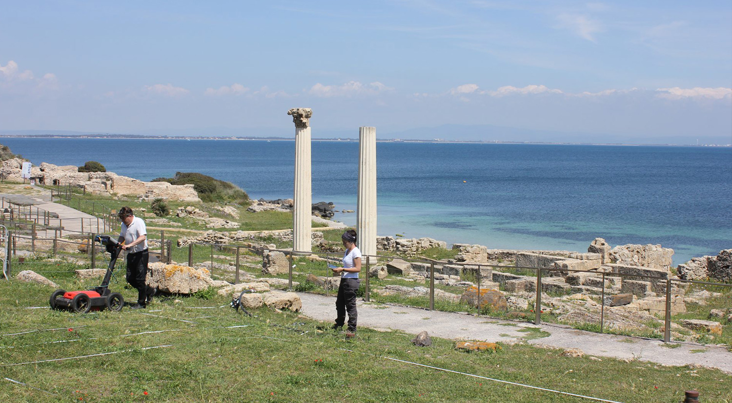
Ground Penetrating Radar at Tharros, Sardinia
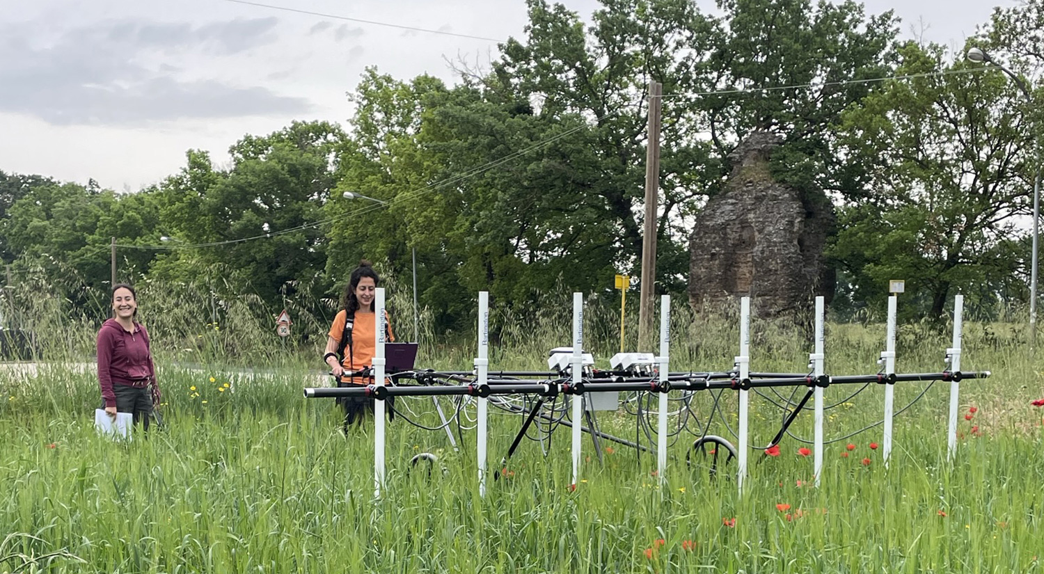
Multisensor magnetometry at Falerii Novi
A vital function of the BSR is to facilitate contact among the academic communities and to serve as a centre for research and debate. These collaborative projects demonstrate how we bring together British, Italian and other international institutions, enabling a level of activity and research which would simply not be possible for an individual research group or UK-based institution. The BSR is always seeking to expand this network, and welcomes the opportunity to support and work in partnership with colleagues.
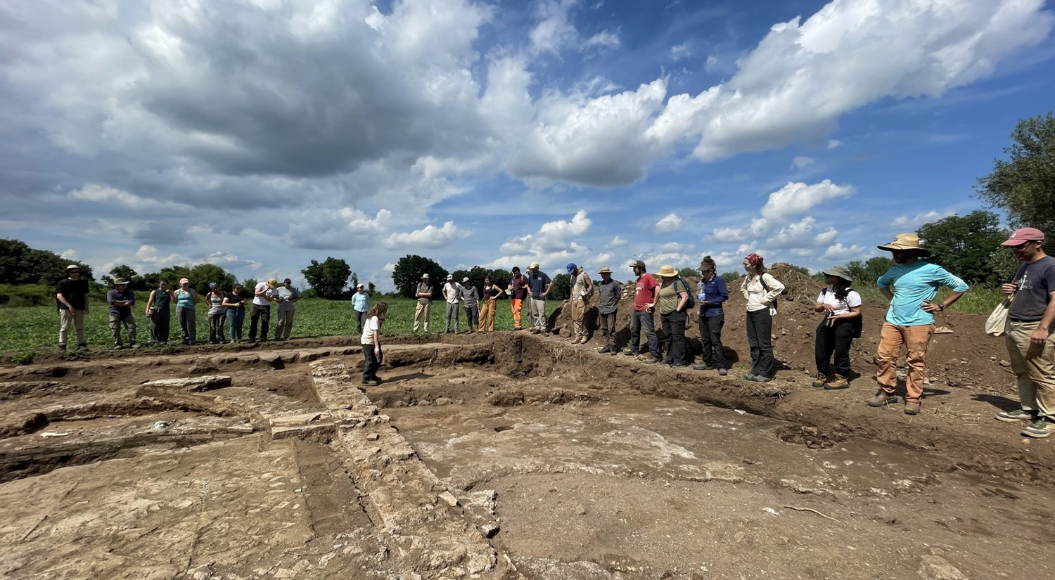
End of week trench tour, Falerii Novi 2023
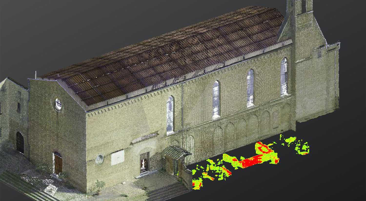
The BSR specialises in 3D digital recording, using a range of techniques to record in high resolution standing architecture, with the aim of its spatial integration with other forms of data. Surveys have been conducted on a range of architectural monuments, including Renaissance churches, Roman mausoleums as well as open-area excavations. This form of data collection is also at the heart of the Rome Transformed project. Through the advanced technology available at the BSR (including a Leica RTC360 Laser Scanner) the data are collected as high-definition point clouds, accurately positioned using a robotic total station (Leica TS16) and RTK GPS (Leica GS18T) to allow its analysis alongside other forms of data including geophysical datasets. This technology provides the digital framework for all the BSR’s major archaeological research projects, whilst it is also used to support the research of BSR collaborative partners.
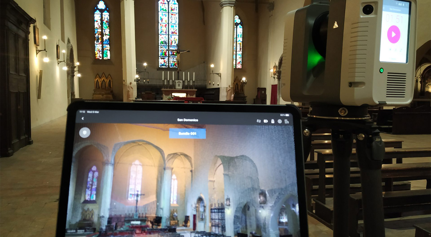
Laser scanning of the interior of the church of San Domenico, Citta di Castello (Umbria).
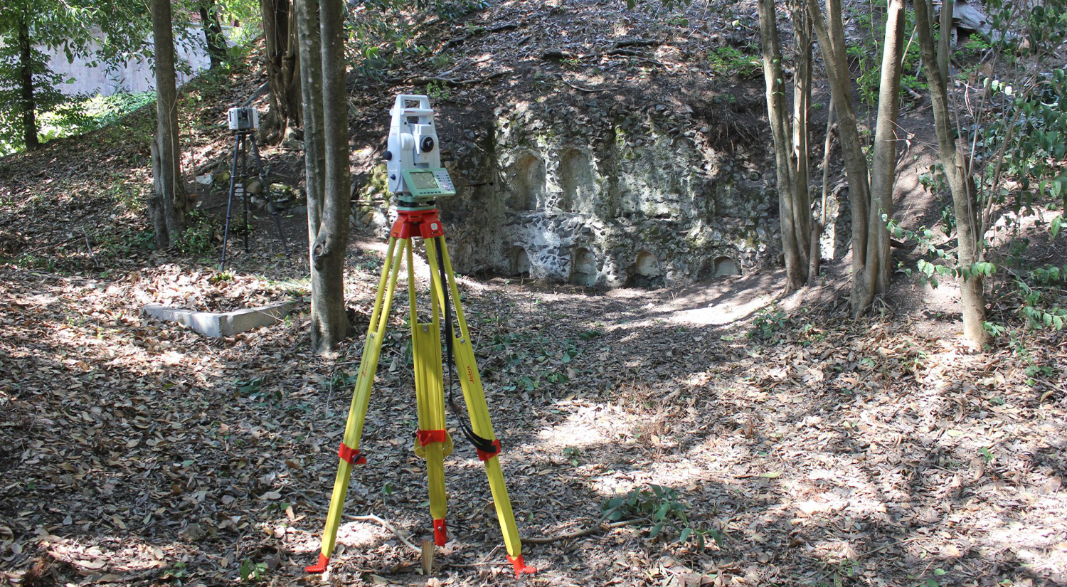
Total Station and laser scanning recording of a columbarium on the ancient via Latina, Rome.
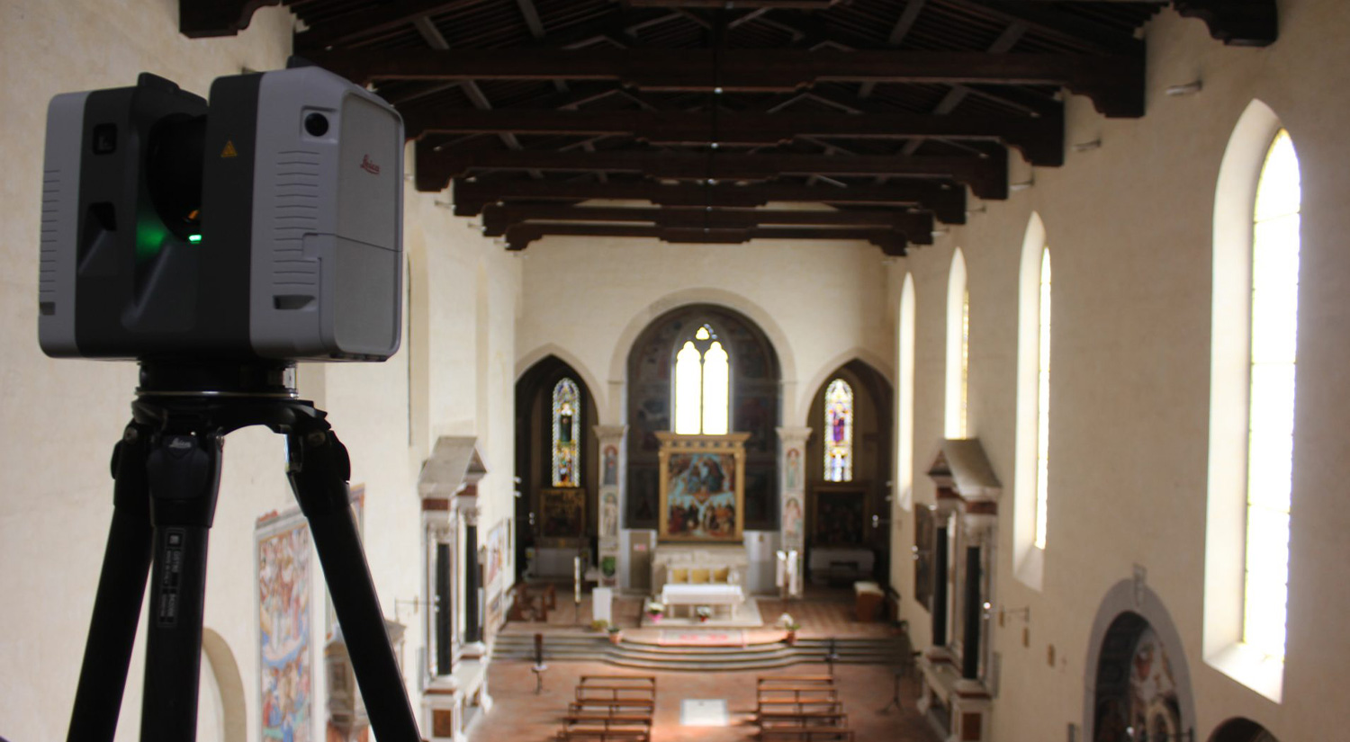
Laser scanning of the interior of the church of Sant’Agostino, San Gimignano (Tuscany).
